Lone Pine.
.jpg)

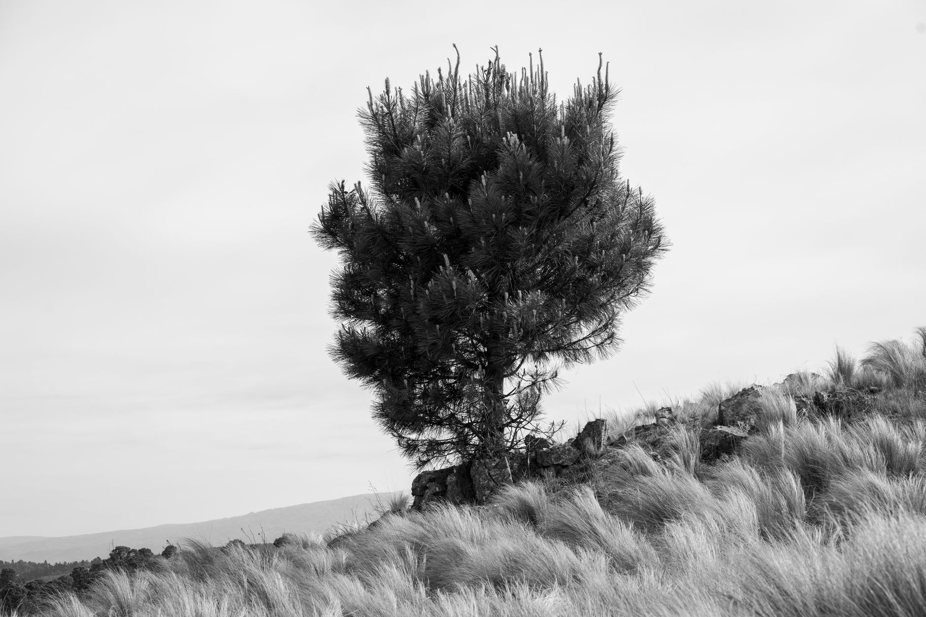
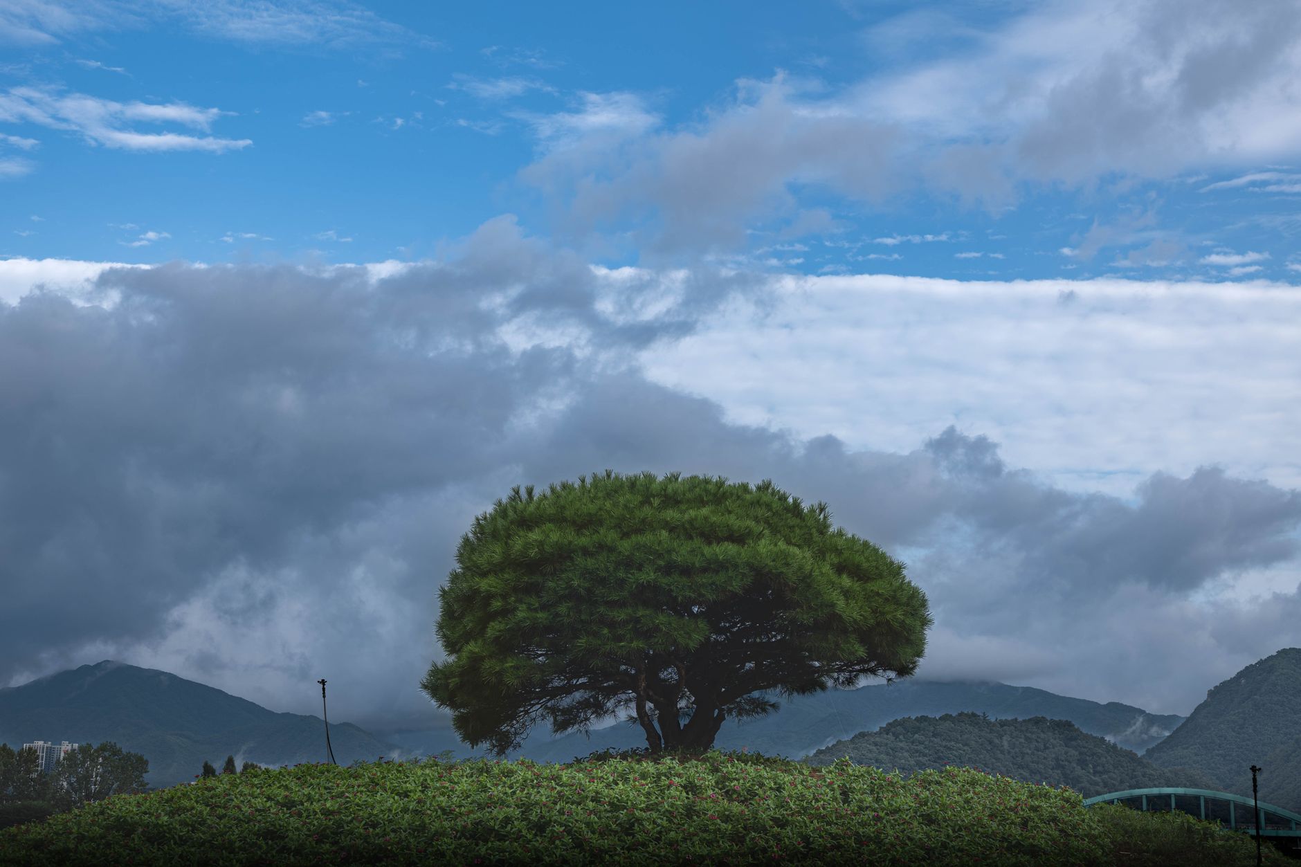

US Route 395 slices straight through town, hemmed in by the abrupt four-thousand-metre wall of the Sierra Nevada to the west and the parched Inyo Range to the east. It is a dry, sun-scoured strip of motels, weathered neon, and early-morning trail crews grabbing black coffee before sunrise. Just outside town, the rounded monzogranite boulders of the Alabama Hills roll out beneath Mount Whitney, where Hollywood shot hundreds of quick-draw westerns. Lone Pine is worth visiting if you want to scramble through weathered desert stone beneath the highest peak in the Lower 48. Look elsewhere if you want luxury resorts, fine dining, lively nightlife, or indoor attractions to escape the desert heat.
Last updated 6 Sept 2026
Build a Lone Pine itinerary.
Choose up to 4 threads that pull you in. Your plan arrives organised around them.
The Bed
Where to stay in Lone Pine
Which part of town to book, and what each one costs you in walking, noise or quiet.
The Comparison
Lone Pine, or somewhere near it
The places you are realistically choosing between, and the honest case for each.
The Local Record
Where to read more about Lone Pine
The blogs, boards, guides and operators worth bookmarking.
What to do in Lone Pine Eastern Sierra United States
Lone Pine sits compact along Highway 395, operating as a staging ground for hikers, road-trippers, and geology nerds. Days naturally revolve around early morning light in the desert rocks, hearty midday diner meals, and watching the granite peaks turn pink at dusk. It suits anyone who loves stark mountain scenery, unvarnished roadside hospitality, and exploring high-desert landscapes without the manicured polish of a standard resort town.
24 hours in Lone Pine Eastern Sierra United States
Start early with a Mobius Arch scramble in the Alabama Hills while the light is soft, then head into town for breakfast at the Alabama Hills Cafe. Spend the afternoon at the Western Film Museum or drive thirteen miles up to Whitney Portal for mountain air. Finish with a burger and a local IPA on Main Street as the desert breeze cools down. Select 1 Day above to see it.
2 days in Lone Pine Eastern Sierra United States
A second day lets you drive ten minutes north to Manzanar National Historic Site for a sobering, well-curated look at wartime internment. Afterwards, drive up Horseshoe Meadows Road for sweeping views over the Owens Valley dry lakebed, finishing with tacos and cold Pacifico back in town. Choose 2 Days to expand the plan.
3 days in Lone Pine Eastern Sierra United States
With three days, venture into the rugged Inyo Mountains to seek out the silver-mining ghost town of Cerro Gordo, or push north into Independence and the ancient bristlecone pine forest. You will have time to fish Lone Pine Creek and linger at Diaz Lake without checking your watch.
Lone Pine Eastern Sierra United States itineraries by interest
Desert Hiking in Lone Pine Eastern Sierra United States
Walk the easy arch trail to Mobius Arch or climb the Whitney Portal National Recreation Trail through pine groves into the granite canyon.
Film History in Lone Pine Eastern Sierra United States
Browse vintage movie posters, props, and camera cars at the Museum of Western Film History on Main Street before touring Movie Flat Road.
High Mountain Passes in Lone Pine Eastern Sierra United States
Drive the steep switchbacks up Whitney Portal Road for cooler mountain air, plunging waterfall views, and trailhead trail mix.
Local Baking in Lone Pine Eastern Sierra United States
Pick up jalapeño cheddar loaves, giant cinnamon rolls, and thick sandwiches at the Alabama Hills Bakery and Cafe on Post Street.
Stargazing in Lone Pine Eastern Sierra United States
Head out past dusk onto Horseshoe Meadows Road or into the Alabama Hills, where pitch-black desert skies reveal the Milky Way clearly.
Dark History in Lone Pine Eastern Sierra United States
Visit the nearby Manzanar National Historic Site to walk preserved barracks, gardens, and the mess hall of the World War II internment camp.
Old West Taverns in Lone Pine Eastern Sierra United States
Grab a cold draft beer and a charbroiled burger alongside local ranchers and thru-hikers at the rustic bars along North Main Street.
Scenic Drives in Lone Pine Eastern Sierra United States
Follow Movie Flat Road through rounded granite corridors framing snow-streaked Mount Whitney, paved in dust and easy in a standard car.
Freshwater Fishing in Lone Pine Eastern Sierra United States
Cast for rainbow and brown trout along the chilly, boulder-strewn waters of Lone Pine Creek and nearby Diaz Lake early in the morning.
Indigenous Culture in Lone Pine Eastern Sierra United States
Learn the deep history and basket-weaving traditions of the Owens Valley Paiute and Shoshone at the local cultural centres in the valley.
Ghost Towns in Lone Pine Eastern Sierra United States
Drive northeast into the Inyo Mountains to explore the decaying timber ruins and silver-smelting remains of Cerro Gordo above Owens Lake.
Geology in Lone Pine Eastern Sierra United States
Trace the Owens Valley Fault along the 1872 earthquake fault scarp just outside town, where the ground dropped suddenly several metres.