Death Valley.


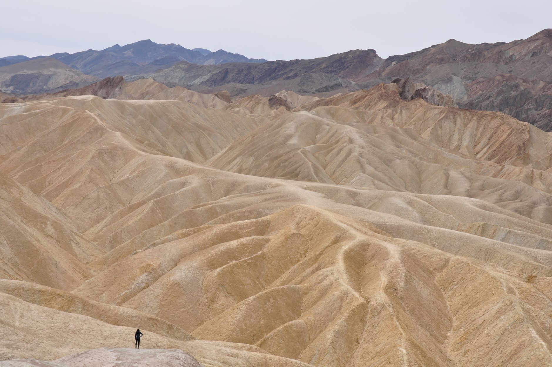

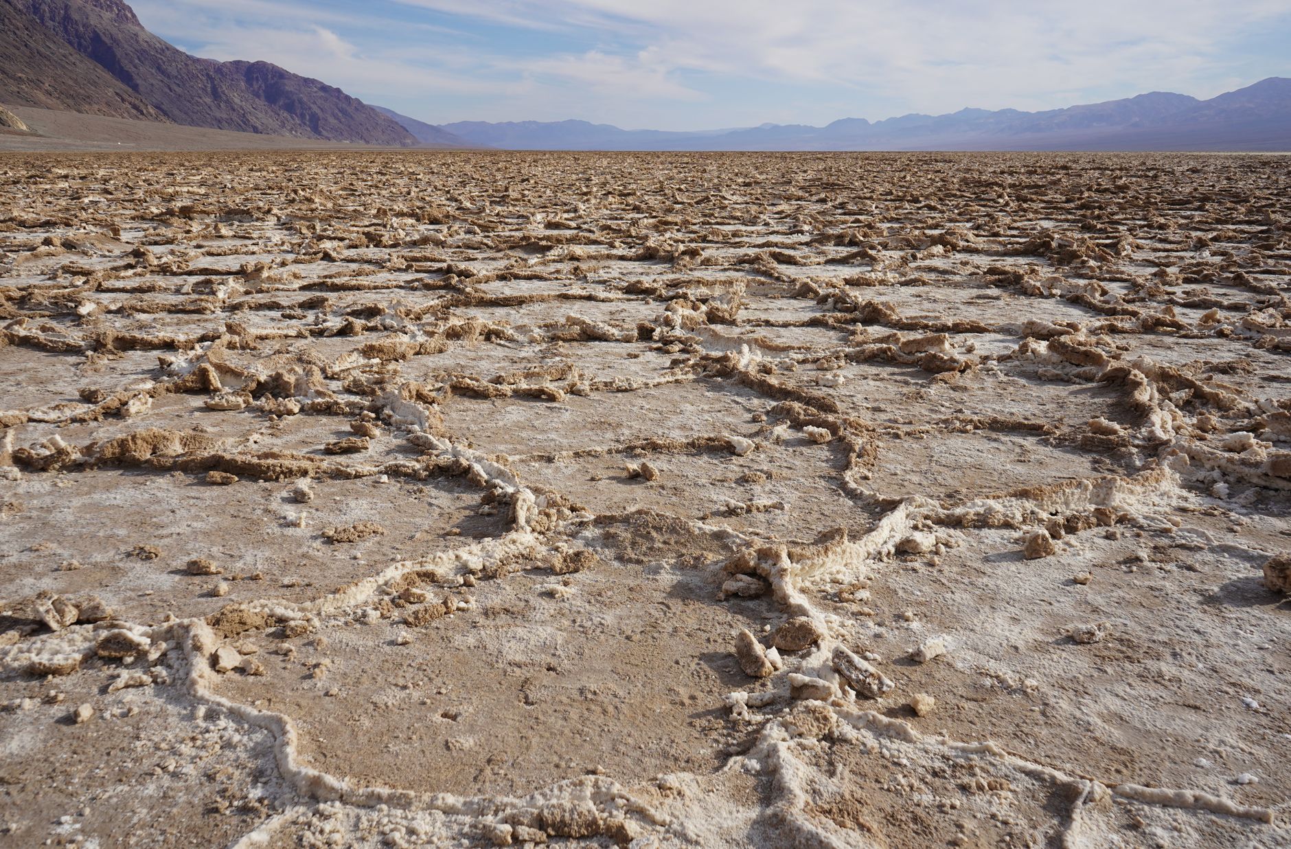

Death Valley sits roughly two hours west of Las Vegas by car along California Route 190. The basin is defined by extreme geography, spanning Badwater Basin at 282 feet below sea level and the sharp rise of Telescope Peak above eleven thousand feet. It delivers salt pans, sand dunes, and severe geology with reliable winter sun. Death Valley is worth visiting if you want to walk massive salt flats and watch desert light shift across barren canyons. Look elsewhere if you want walkable town centers, nightlife, diverse dining options, or lush green landscapes.
Last updated 9 Sept 2026
Build a Death Valley itinerary.
Choose up to 4 threads that pull you in. Your plan arrives organised around them.
The Bed
Where to stay in Death Valley
Which part of town to book, and what each one costs you in walking, noise or quiet.
The Comparison
Death Valley, or somewhere near it
The places you are realistically choosing between, and the honest case for each.
The Local Record
Where to read more about Death Valley
The blogs, boards, guides and operators worth bookmarking.
What to do in Death Valley Deserts United States
Daily life here revolves around the sun and the car. You get moving at dawn to catch the cool air, retreat indoors or drive high ridges during the heat of midday, and head back out as shadows lengthen across the salt floor. Base yourself near Furnace Creek or Stovepipe Wells. It suits independent drivers, hikers, and photographers who prefer vast scale, silence, and rugged terrain over resort amenities.
24 hours in Death Valley Deserts United States
Watch dawn illuminate Zabriskie Point, then walk the polygon crust at Badwater Basin before noon. Grab lunch at the Furnace Creek saloon, take the afternoon drive through the pastel clays of Artist's Palette, and finish on the Mesquite Flat dunes for dusk. Select 1 Day above to see it.
2 days in Death Valley Deserts United States
Head north toward Ubehebe Crater to peer into the volcanic rim. Stop by the historic Keane Wonder Mine trail, then eat a hearty steak dinner in Beatty or Stovepipe Wells. Spend the late evening under an exceptionally dark sky at Harmony Borax Works. Choose 2 Days to expand the plan.
3 days in Death Valley Deserts United States
A third day allows the slow, rocky drive out to the Racetrack Playa or the forested heights of the Wildrose charcoal kilns. You can also explore the ghost town of Rhyolite and walk the gravel canyon bed at Titus Canyon without checking the clock.
Death Valley Deserts United States itineraries by interest
Desert Hiking in Death Valley Deserts United States
Walk the four-mile loop through Golden Canyon and Gower Gulch, or scramble over the polished limestone narrows inside Fall Canyon near Titus Canyon.
Scenic Drives in Death Valley Deserts United States
Drive the one-way loop through Artist's Drive to see volcanic sediment hills, or take the gravel route up to Dante's View for high basin vistas.
Stargazing in Death Valley Deserts United States
Watch the Milky Way without light pollution from the flat floor of Badwater Basin or the elevated turnouts along the road to Harmony Borax Works.
Geological Formations in Death Valley Deserts United States
Inspect the sharp salt spires across Devil's Golf Course and the 600-foot-deep volcanic crater at Ubehebe, formed by steam explosions centuries ago.
Mining History in Death Valley Deserts United States
Examine the wooden wagons at Harmony Borax Works and the preserved mill foundations and kilns at Wildrose, dating to late nineteenth-century silver booms.
Sand Dunes in Death Valley Deserts United States
Walk the Mesquite Flat Sand Dunes near Stovepipe Wells at dawn, when shifting winds leave fresh ridges before the midday heat hardens the sand.
Sunrise & Sunset in Death Valley Deserts United States
Catch first light hitting the wrinkled mudstone mounds at Zabriskie Point, or watch long shadows stretch across the dunes from Stovepipe Wells.
Ghost Towns in Death Valley Deserts United States
Tour the ruined bank vault and abandoned train depot at Rhyolite just over the Nevada border, or explore the stone cabins at Chloride City.
High Altitude Trails in Death Valley Deserts United States
Hike the strenuous fourteen-mile round trip to the summit of Telescope Peak from Mahogany Flat, passing ancient bristlecone pines above 10,000 feet.
Desert Springs in Death Valley Deserts United States
Seek out the pupfish darting through the hypersaline thermal waters along the wooden boardwalks at Salt Creek and nearby Ash Meadows refuge.
Historic Lodging in Death Valley Deserts United States
Book a table or room at the 1927 Mission Revival Inn at Death Valley, built by the Pacific Coast Borax Company around natural desert date palms.
Off-Road Touring in Death Valley Deserts United States
Rent a high-clearance four-wheel-drive vehicle to reach the sliding stones across the dry lakebed at the remote Racetrack Playa.