The Divide.

.jpg)


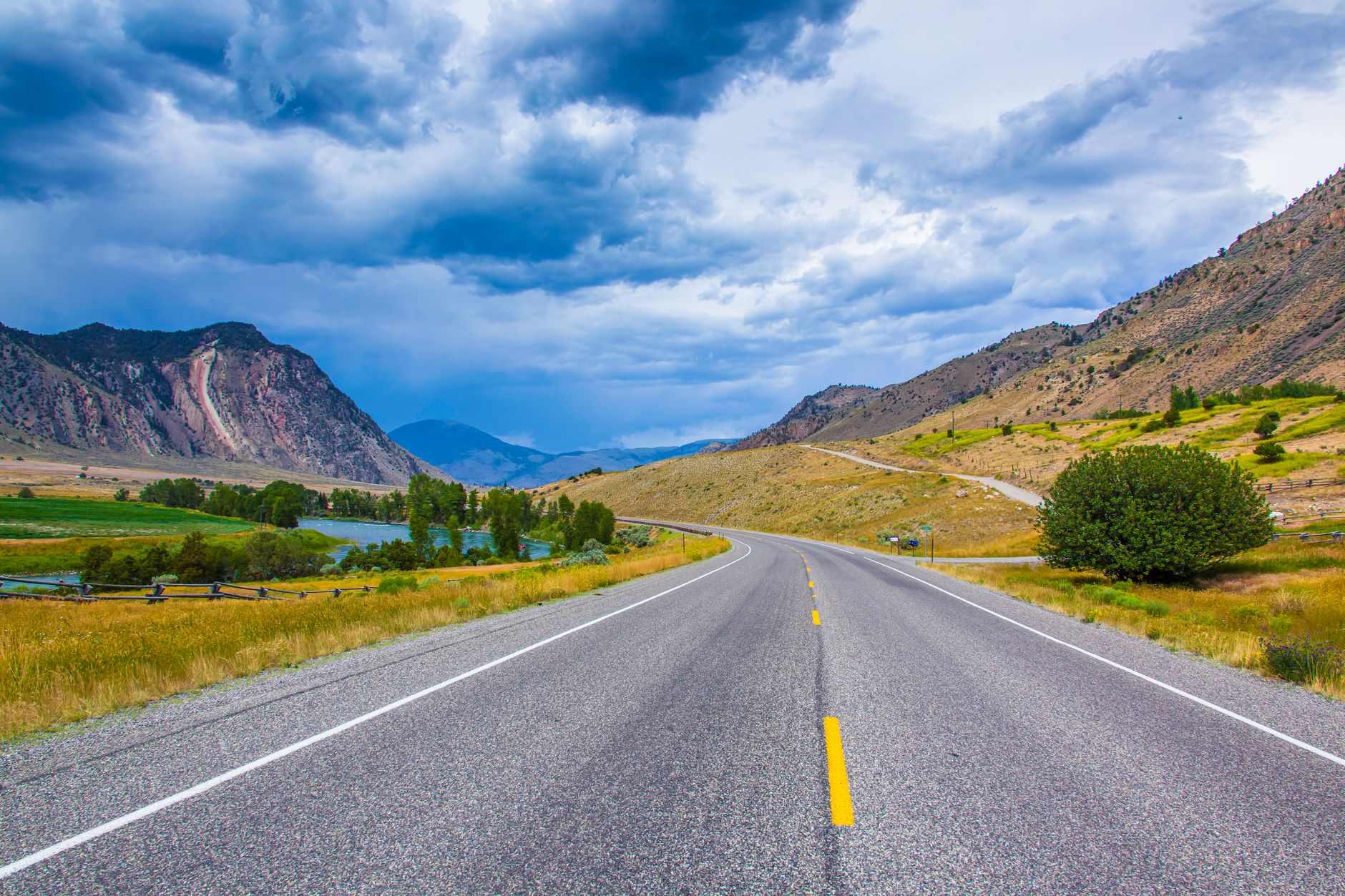
The Divide sits 85 kilometres north of Te Anau along State Highway 94, an eighty-minute drive through the Eglinton Valley. It is the lowest pass in the Southern Alps and the western trailhead for the Routeburn Track, marked only by a car park and trail shelter. The Divide is worth visiting if you want to climb Key Summit for alpine tarns and views over three valleys. Look elsewhere if you need mobile signal, indoor dining, fuel, or dry-weather guarantees.
Last updated 6 Oct 2026
Build a The Divide itinerary.
Choose up to 4 threads that pull you in. Your plan arrives organised around them.
The Bed
Where to stay in The Divide
Which part of town to book, and what each one costs you in walking, noise or quiet.
The Comparison
The Divide, or somewhere near it
The places you are realistically choosing between, and the honest case for each.
The Local Record
Where to read more about The Divide
The blogs, boards, guides and operators worth bookmarking.
What to do in The Divide Southland New Zealand
There is no town at The Divide; it is a mountain pass and trail hub carved into Fiordland National Park along the Milford Road. Days here revolve entirely around trail boots, waterproof jackets, and the weather forecast. Hikers arrive early to climb Key Summit or begin the multi-day Routeburn Track. It suits self-sufficient walkers and road-trippers who value silence, native beech forest, and raw alpine topography over modern conveniences.
24 hours in The Divide Southland New Zealand
Pack a hearty lunch and water in Te Anau, then drive 80 minutes up the Eglinton Valley. Spend three hours hiking the 3.4-kilometre return trail up Key Summit for panoramic views of Lake Marian and the Darran Mountains. Descend to the car park shelter for lunch before continuing north through the Homer Tunnel to Milford Sound by late afternoon. Select 1 Day above to see it.
2 days in The Divide Southland New Zealand
Base in Te Anau or Milford Sound. On day two, turn off near The Divide down the unsealed Lower Hollyford Road to hike the rugged track to Lake Marian, a striking alpine lake set in a hanging valley. Finish the day with a venison pie or local blue cod back in Te Anau. Choose 2 Days to expand the plan.
3 days in The Divide Southland New Zealand
A third day allows an overnight trek on the Routeburn Track to Lake Mackenzie Hut, passing 174-metre Earland Falls. Alternatively, walk the quiet flats of the Greenstone Track toward Lake Rere, spotting trout in crystalline mountain rivers and enjoying untouched wilderness.
The Divide Southland New Zealand itineraries by interest
Alpine Hiking in The Divide Southland New Zealand
Climb the steady grade to Key Summit for boardwalk views across the Hollyford, Greenstone, and Eglinton valleys, surrounded by subalpine bog and tarns.
Multi-Day Treks in The Divide Southland New Zealand
Depart the shelter eastward on the Routeburn Track toward Lake Howden, Lake Mackenzie, and the Harris Saddle, traversing alpine herbfields and beech forest.
Native Birdwatching in The Divide Southland New Zealand
Listen for the sharp call of the rifleman and spot South Island robins, kea, and bellbirds foraging in the dense canopy of silver beech along the pass.
Scenic Drives in The Divide Southland New Zealand
Navigate State Highway 94 from Te Anau through the glaciated Eglinton Valley and past Mirror Lakes before reaching the pass and the Homer Tunnel descent.
Botanical Walks in The Divide Southland New Zealand
Follow the nature walk across Key Summit to inspect carnivorous sundews, cushion bogs, alpine daisies, and stunted mountain totara thriving in peat soil.
Valley Trails in The Divide Southland New Zealand
Branch onto the Greenstone or Caples tracks from Lake Howden to follow river flats, open tussock grasslands, and cattle trails through quiet valleys.
Waterfall Trails in The Divide Southland New Zealand
Walk beyond the pass down the Hollyford road to view Marian Cascades or track the swollen runoff coursing through the steep rock faces after heavy rain.
Geological Formations in The Divide Southland New Zealand
Observe hanging valleys, moraine deposits, and sharp U-shaped troughs sculpted by ancient glaciers meeting at the divide between two oceanic watersheds.
Trail Running in The Divide Southland New Zealand
Tackle the well-maintained gravel gradient of the Routeburn up to Howden Hut and Earland Falls for a fast-paced mountain run through mossy beech woods.
Landscape Photography in The Divide Southland New Zealand
Capture dawn light touching Mount Christina and the Darren Mountains from Key Summit, or frame reflective alpine pools against dramatic cloud inversions.
Picnic Spots in The Divide Southland New Zealand
Pack provisions from Te Anau to eat at the Divide shelter bench or atop Key Summit amidst 360-degree vistas of the Hollyford and Darran ranges.
Forest Ecology in The Divide Southland New Zealand
Examine thick moss carpets, ancient silver beech trees, hanging lichens, and damp forest floor fungi thriving in one of New Zealand's wettest climates.