Bin el Ouidane.


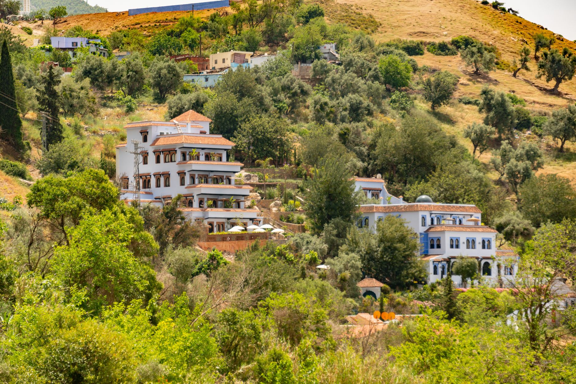
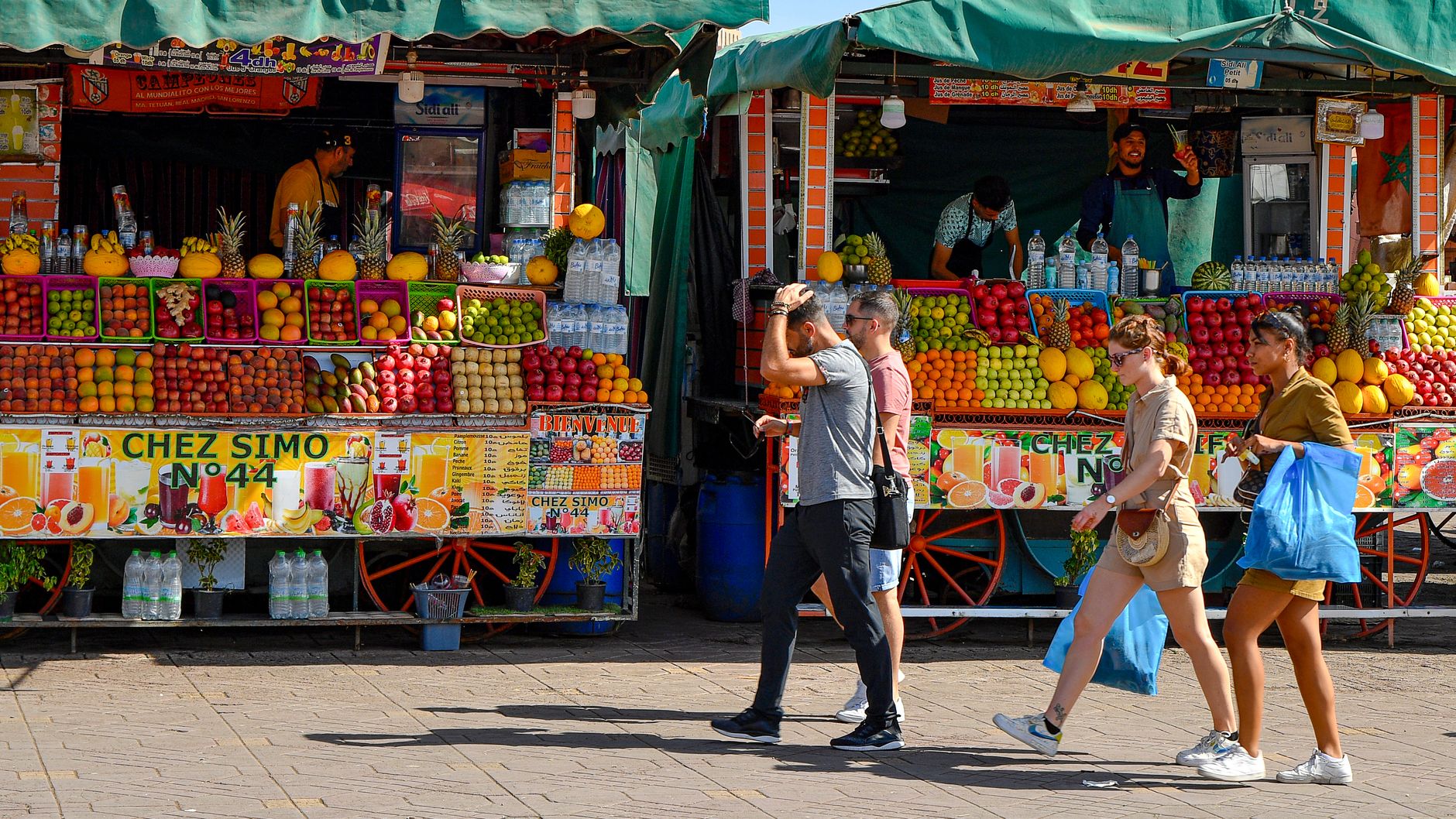
Bin el Ouidane sits three hours east of Marrakech in the Middle Atlas foothills, reachable via the R304 past Beni Mellal. Built in 1953 on the El Abid River, this massive reservoir is celebrated for colossal carp fishing and quiet kayaking framed by red limestone. The pace is slow and restorative. Bin el Ouidane is worth visiting if you want stillness by deep mountain water, empty trailheads, and slow tagines far from the imperial cities. Look elsewhere if you want a walkable medina, bustling souks, sandy public beaches, or nightlife beyond a quiet hotel terrace.
Last updated 13 Sept 2026
Build a Bin el Ouidane itinerary.
Choose up to 4 threads that pull you in. Your plan arrives organised around them.
The Bed
Where to stay in Bin el Ouidane
Which part of town to book, and what each one costs you in walking, noise or quiet.
The Comparison
Bin el Ouidane, or somewhere near it
The places you are realistically choosing between, and the honest case for each.
The Local Record
Where to read more about Bin el Ouidane
The blogs, boards, guides and operators worth bookmarking.
What to do in Bin el Ouidane Middle Atlas & Tadla Morocco
Bin el Ouidane is defined by water meeting red clay. The settlement is small and spread along the southern shore, meaning days revolve around the lake: morning paddles, unhurried lunches of clay-pot tagine, and lakefront walking. It suits independent drivers, anglers, and walkers who want quiet mountain air instead of urban hustle, provided you do not mind unpaved roads and an early bedtime.
24 hours in Bin el Ouidane Middle Atlas & Tadla Morocco
Rent a kayak at 8:00 before the wind stirs the surface, paddling east into the limestone narrows. Head up to a village café above the dam for a noon tagine of spiced goat and crusty khobz. Finish the afternoon driving the shoreline road to catch the golden light on Mount Tazerkount before dinner. Select 1 Day above to see it.
2 days in Bin el Ouidane Middle Atlas & Tadla Morocco
A second day invites a thirty-kilometre drive south through the Ahansal valley to Tilougguite. Walk along the river gorge under red sandstone cliffs, then stop at a roadside hearth for hot Berber flatbread, hard-boiled eggs with cumin, and sweet mint tea poured from high above the glass. Choose 2 Days to expand the plan.
3 days in Bin el Ouidane Middle Atlas & Tadla Morocco
Day three opens the dirt track south toward Imsfrane to hike beneath the massive Cathedral rock formation. Alternatively, drive an hour west to the multi-tiered cascades at Ouzoud, returning in time for a plate of grilled mountain trout and total quiet under a clear night sky.
Bin el Ouidane Middle Atlas & Tadla Morocco itineraries by interest
Freshwater Fishing in Bin el Ouidane Middle Atlas & Tadla Morocco
Cast for giant carp and black bass on the El Abid waters with local skippers who know the submerged olive trees and quiet bays.
Lake Kayaking in Bin el Ouidane Middle Atlas & Tadla Morocco
Rent sit-on-top boats near the hotel piers to paddle the red rock coves in the early morning before the afternoon breeze picks up.
Mountain Hiking in Bin el Ouidane Middle Atlas & Tadla Morocco
Trek the limestone ridgelines around Mount Tazerkount for sweeping vistas of the turquoise basin and traditional Berber stone hamlets.
Berber Cooking in Bin el Ouidane Middle Atlas & Tadla Morocco
Eat slow-simmered lamb tagine with dried figs and fresh tafernout bread baked over river stones in nearby roadside village stalls.
River Canyons in Bin el Ouidane Middle Atlas & Tadla Morocco
Drive south to the Ahansal River gorge where towering cliffs and clear alpine currents meet gravel roads near Tilougguite.
Scenic Drives in Bin el Ouidane Middle Atlas & Tadla Morocco
Follow the winding R304 over dramatic passes, looking down on terracotta valleys and olive groves stretching toward Beni Mellal.
Waterfalls & Gorges in Bin el Ouidane Middle Atlas & Tadla Morocco
Make the sixty-minute trip west to Cascades d'Ouzoud to watch the falls drop into the gorge amid olive groves and resident macaques.
Mid-Century Engineering in Bin el Ouidane Middle Atlas & Tadla Morocco
Inspect the 133-metre concrete arch dam built in 1953, once the highest in Africa, powering the fertile Tadla agricultural plains.
Olive Oil Traditions in Bin el Ouidane Middle Atlas & Tadla Morocco
Sample peppery, unfiltered olive oil pressed in small mills across the Tadla basin during the autumn and winter harvest season.
Geological Landmarks in Bin el Ouidane Middle Atlas & Tadla Morocco
Hike near Rocher de la Cathédrale, a massive limestone monolith rising steeply from the pine forests of the Ahansal valley.
Trail Running in Bin el Ouidane Middle Atlas & Tadla Morocco
Follow packed dirt roads and goat paths winding along the shoreline, offering steady elevation gains and firm mountain footing.
Stargazing in Bin el Ouidane Middle Atlas & Tadla Morocco
Step outside once the reservoir goes dark to see clear, high-altitude night skies free from the light pollution of Moroccan cities.